

Return to top
Chapter 8, "The Sinagua", The Archaeology of Ancient Arizona.
Pilles, Peter J.
1987 The
Sinagua: Ancient People of the Flagstaff Region.
In Exploration: Wupatki and
Walnut Canyon, pp. 2-11. Annual Bulletin of the School
of American Research, Santa Fe.
The
Sinagua are divided into a northern branch, located in the
Flagstaff area, and a southern branch in the middle Verde River
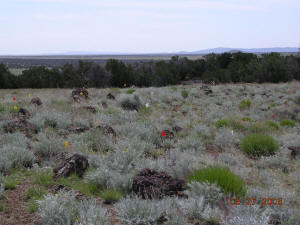
Valley. Environmental diversity is one of the hallmarks of the
area, with wooded areas at high elevations, cinder cones, the
San Francisco Peaks, and barren areas of cinder and lava. The
northern branch is the better known of the two because of the
work of Harold Colton and other archaeologists working out of
the Museum of Northern Arizona. In a geographic position between
the Kayenta Anasazi to the north, the little-known Cohonino
Culture to the west, and the Hohokam to the south, the
essentially Mogollon background of the Sinagua always showed the
effects of interacting with people of different cultures, much
like the Classic Mimbres and Salado cultures. This multicultural
characteristic took on even greater proportions after the
eruption of Sunset Crater Volcano.
Population density was low during the early occupation of the
area. Small pithouse villages existed around A.D. 675, and some
sites have community rooms. Around A.D. 900 population started
to increase and villages were established along the eastern
flanks of the peaks. The first ballcourts in the area appeared
at about this time, and farming was more intensified, with
terraces and fieldhouses.
In
the fall of A.D. 1064, and continuing for nearly 200 years,
Sunset Crater Volcano erupted, spreading ash and cinders over an
800 square mile area. After the initial eruption, the Flagstaff
Sinagua dramatically increased their interaction with their
neighbors. The Sinagua reached their height during the Elden
Phase (A.D. 1150-1250), with increased aggregation and the
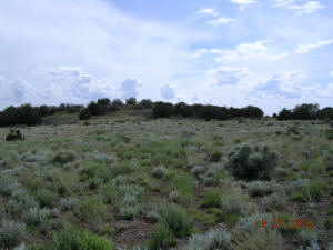
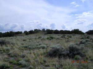
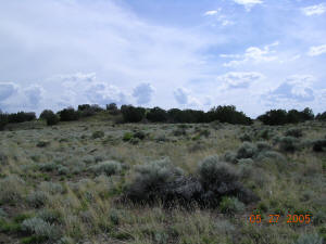
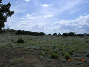
construction of Wupatki, Walnut Canyon, New Caves, Ridge Ruin,
Elden Pueblo, and other sites. Three models have been proposed
to explain the cultural interaction that took place after the
eruption:
Agricultural Potential Model: Harold Colton thought the
cinders and ash laid down by the volcano increased the fertility
of the soil thus attracting farmers from surrounding areas.
Trade Model: Peter Pilles has proposed that instead of
people moving into the area, the Flagstaff Sinagua began to
function as traders in a heightened exchange of commodities
manufactured in surrounding areas.
Supernatural
Power Model: Others, including the authors of your text,
believe that after the initial eruption of the volcano the
Flagstaff area took on an aura of supernatural power that
drew people from near and far. These three hypotheses are
discussed more fully in your reading.
Return to top
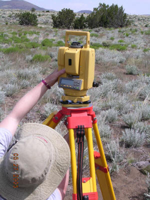
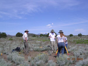
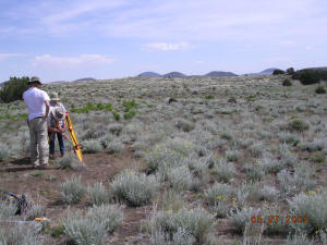
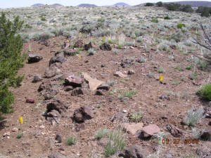
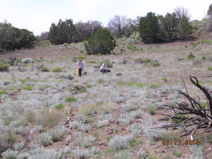
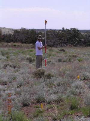
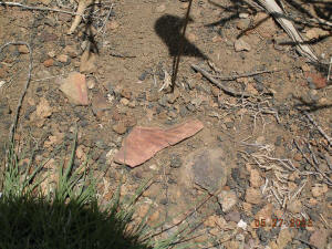
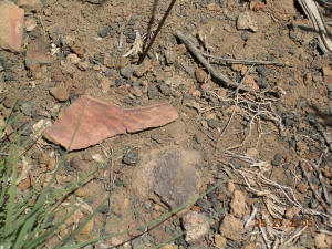
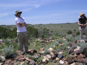
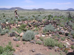
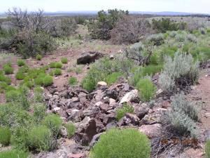
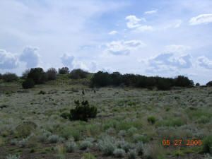
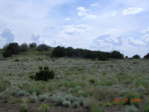
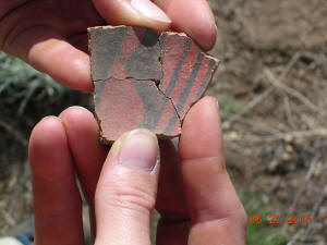
In 1939, human remains representing a
minimum of sixteen
individuals were removed from Ridge Ruin (NA 1785) during
legally
authorized excavations by Dr. John McGregor of the Museum of
Northern
Arizona. No known individuals were identified. The 1,595
associated
funerary objects include pottery bowls, jars and pitchers; wood
carvings; stone and bone tools; projectile points; turquoise
beads,
jewelry and figurines; shell beads and jewelry; burial mats;
woven
baskets; and macaw remains.
Federal Register: October 3, 1997 (Volume
62, Number 192)]
[Notices]
[Page 51898-51903]
From the Federal Register Online via GPO Access [wais.access.gpo.gov]
Return to top
National UFO Reporting Center
http://www.nuforc.org/webreports/004/S04125.html
|
Sighting Report |
Occurred : 6/25/1998 10:23 (Entered as : 6/25/98 10:23
PM)
Reported: 6/26/1998 08:21
Posted: 3/21/2003
Location: Flagstaff, AZ
Shape: Sphere
Duration:2 min |
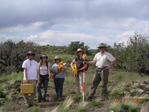
NE of Winona 3 miles Arizona at an archaeological site
called Ridge Ruin. Spheres, glowing red to yellow settle
down, move above site, combine and head NE to Hopi
mesas. Patterns left in volcanic sand, geometric. Seen
by USFS archaeologists, Coconino National Forest.
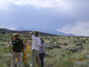
Observed by USFS Coconino national Forest archaeologists
at archaeological site known as Ridge Ruin. Located 3
miles NE of Winona Arizona. Spheres hover over ruins and
move about and then head towards Hopi Mesas to NE.
Geometric patterns left in volcanic sands. |
Return to top
|